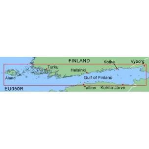
Soome ranniku merekaardid micro/SD mälukaardil G2 toega GARMIN gps`idele.Ulatus on Soome laht Åland kuni Vyborg. Samuti jääb sisse Tallinna laht ning Kohtla-Järve ala. Ulatust saad näha piltide alt. Sobib microSD kaardipesa omavatele käsi GPS seadmetele.
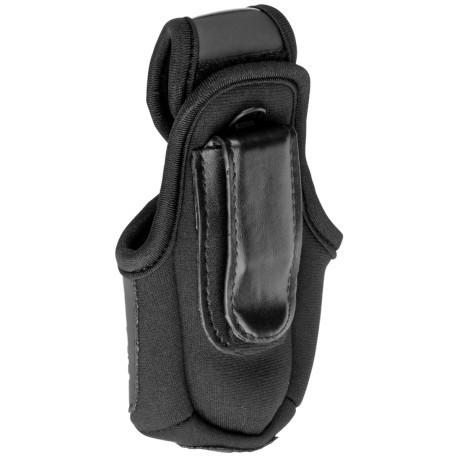
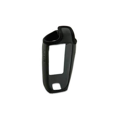
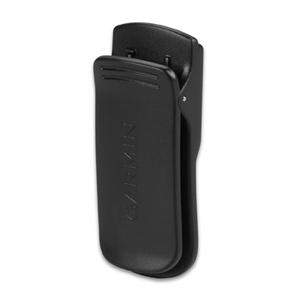
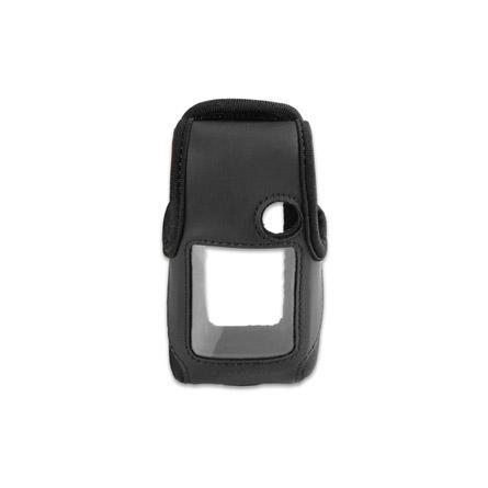
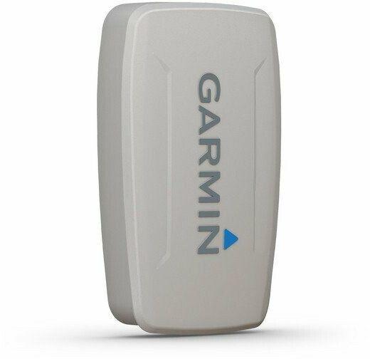
Save your GPS from some of the scuffs and scrapes it could pick up in the line of duty. Durable carrying case features clear vinyl lens and holes for operating buttons so you can use your GPS and view the display. Includes Velcro flap closure, belt clip and lanyard connection. Compatible Devices: eTrex Camo® eTrex Legend® eTrex Legend® C eTrex Legend® Cx eTrex Legend® HCx eTrex Summit® eTrex Summit® HC eTrex Venture® eTrex Venture® Cx eTrex Venture® HC eTrex Vista® eTrex Vista® C eTrex Vista® Cx eTrex Vista® HCx eTrex® eTrex® H Type Protective Case Outdoor Navigation Colour Black
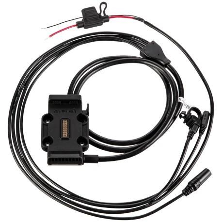
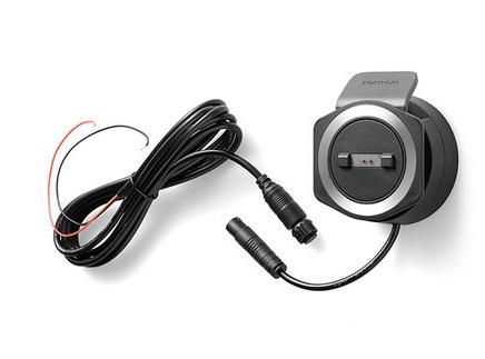
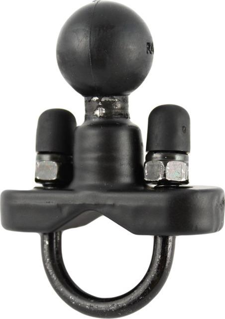
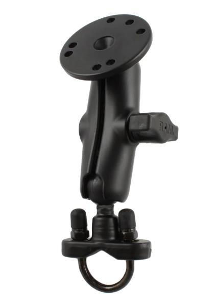
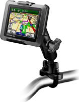
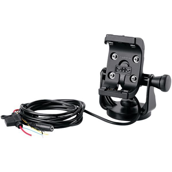
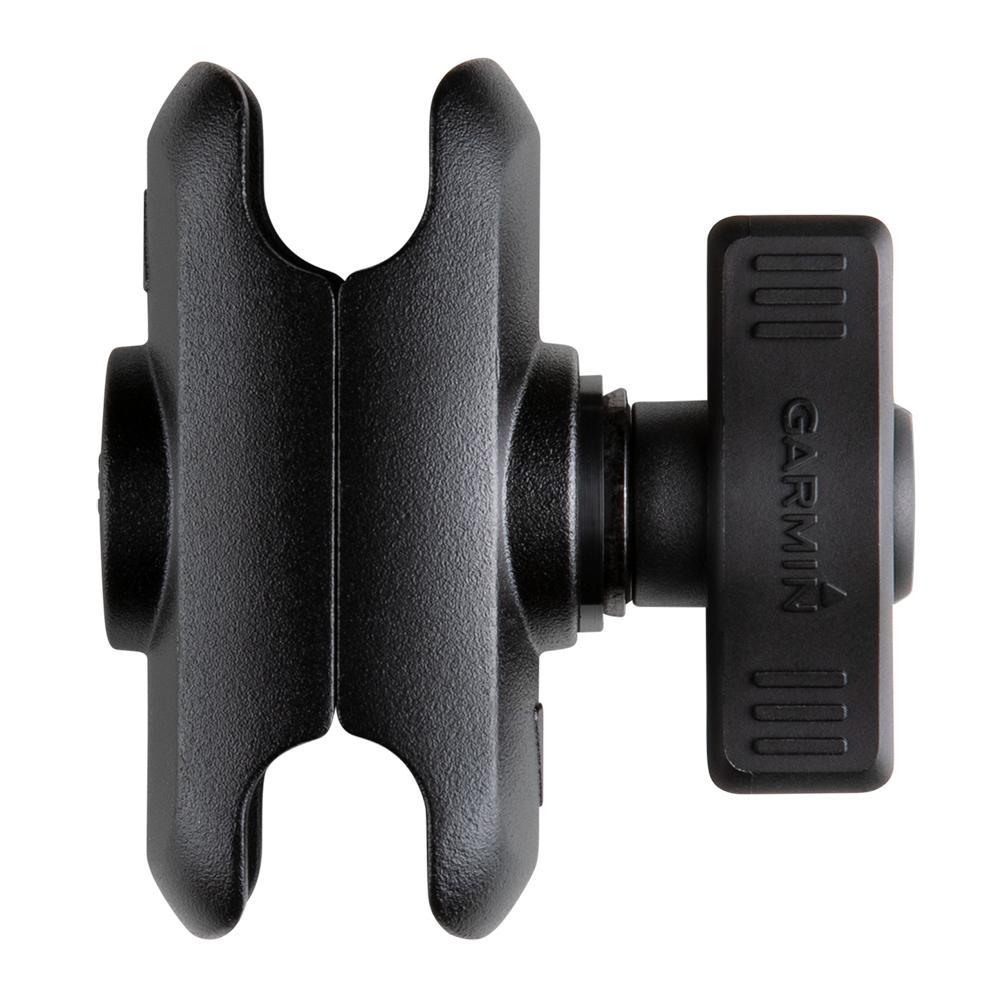
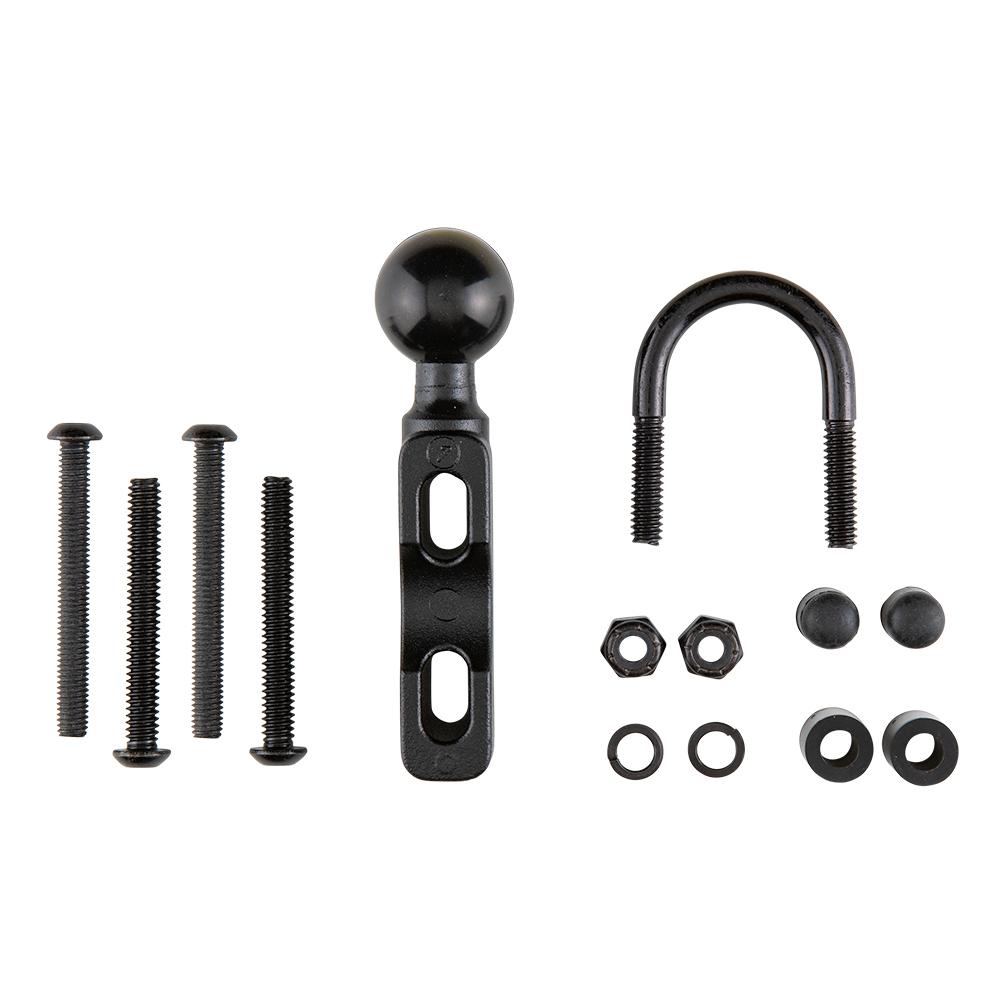
Garmin Mount With Integrated Power CableSecure your z mo® within easy viewing while you ride with this mount. Includes mount and bare-wire power cable. Type Navigation Mount Operating Range Motorbike
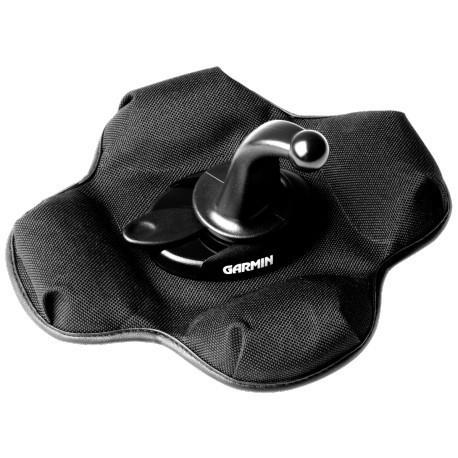
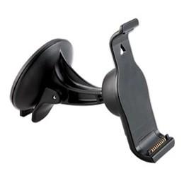
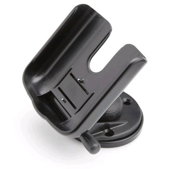
Portable Friction Mount for nüvi & zumo Keep your nüvi in place with this portable friction mount. It ll keep everything in plain sight when you need it and out of the way when you don t. Type Mounting Accessories Operating Range Motor Vehicle
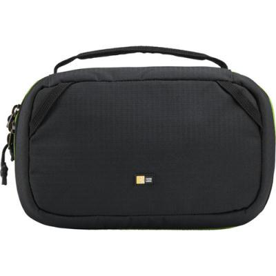
Case Logic Kontrast ekstreemkaamerakott, millel on tugev materjal ja roheline sisemus, et GoPro tarvikuid oleks kotist kergem leida ning et kott oleks vastupidav ekstreemsetes oludes. Koti veekindel põhi kaitseb koti põhja nii niiskuse kui ka löökide eest. Kott mahutab kuni kaks GoPro kaamerat koos lisatarvikutega. Kaameraid kaitsvad vaheseinad on hõlpsasti ümber paigutatavad ja erksavärviline sisemus toob esile kõik komponendid. Lisaks on kotis eraldi eemaldatava lukuga kott, kuhu on mugav paigutada kaamera kinnitused.
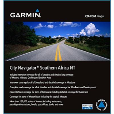
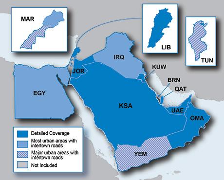
Lõuna-Aafrika teede detailne kaart Garmini auto ja käsi GPS-seadmetele, millel on olemas mälukaardipesa. Komplektis on microSD mälukaart koos SD adapteriga, millel on peal Lõuna-Aafrika teede kaart.
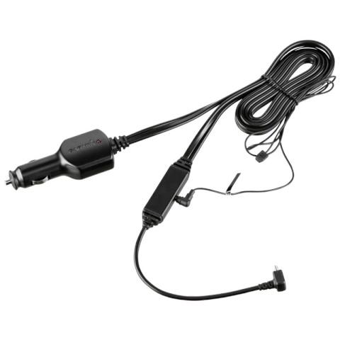
Toitejuhe ja laadija koos FM liiklusinfo vastuvõtjaga ühes kaablis. GTM 70 juhe pakub liiklusinfot sinu ühilduvale Garmin seadmele., Kasutades liiklusinfot, teatab sinu Nüvi eesolevatest ummikutest ja näitab ka liiklustihedust. ...
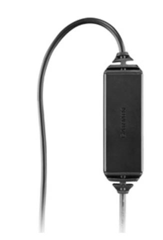
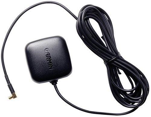
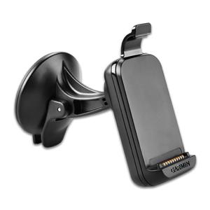
Kui Teie autol on tugev kuumust peegeldav esiklaas, siis ei pruugi GPS signaal sealt hästi läbi tulla., Hädast aitab välja lisaantenn. Sisse-ehitatud magnet katusele paigaldamiseks ja MCX ühendus., Kaabel 2,5 meetrit pikk., Mõõdud ...
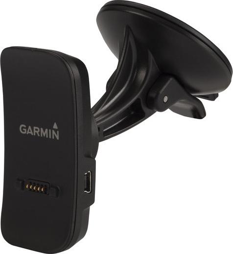
Mit dieser verstellbaren Halterung können Sie während der Fahrt im Fahrzeug gut auf Ihr kompatibles Garmin Drive Luxe zugreifen. Befestigen Sie die Halterung einfach mit dem Saugnapf an der Windschutzscheibe oder einer anderen glatten, flachen Oberfläche, um Ihr Gerät im Blick zu behalten. Type Navigation Mount Field of Application Motor Vehicle Information Befestigung durch Saugfuß Colour Black
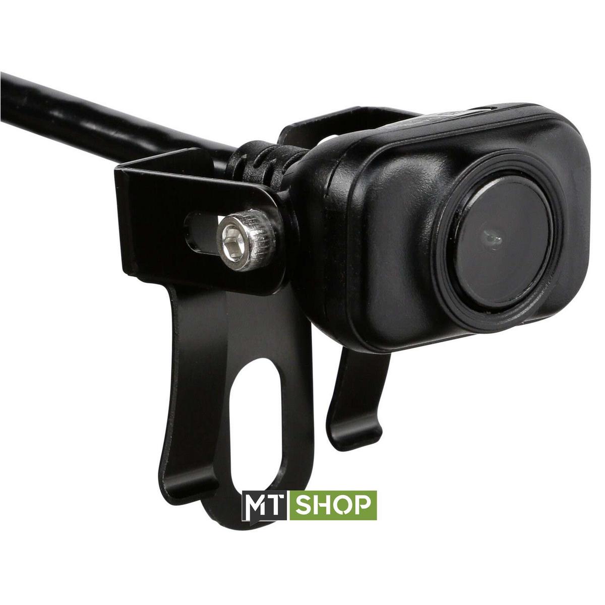
160° wide-angle field of view shows what’s behind your vehicle when in reverse; Built-in Wi-Fi transmits Live Camera view to your compatible GPS navigators display; If desired, wire to constant power and toggle easily between ...
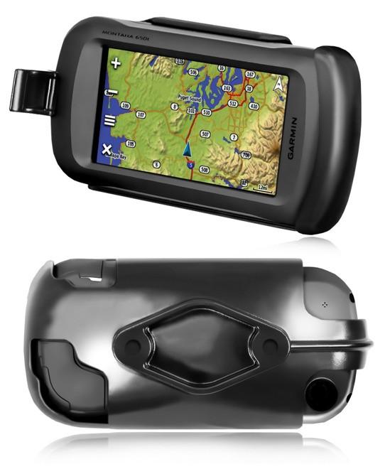
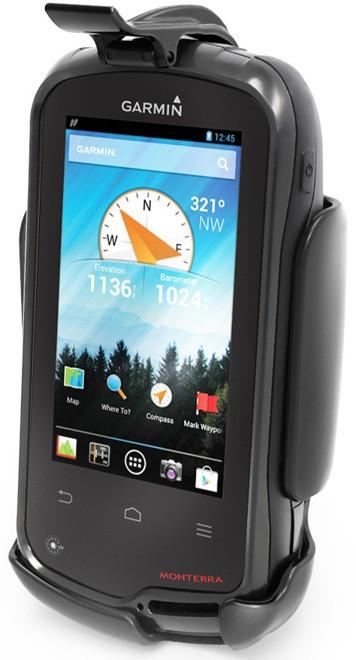
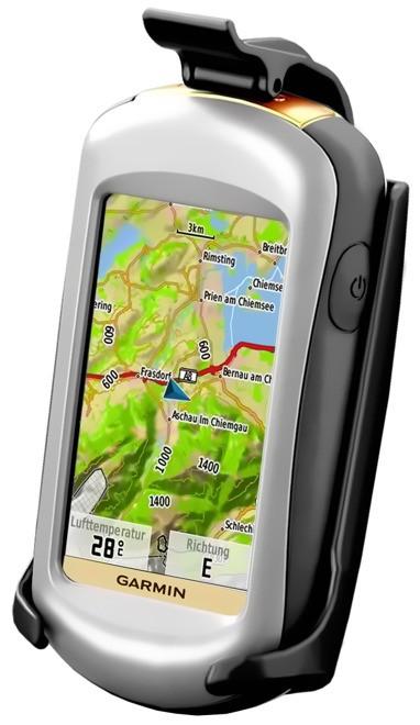
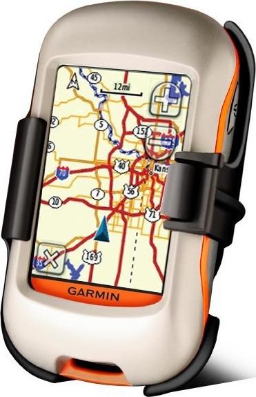
Monatana merehoidik. Komplekt sisaldab hoidikut, võimalust ühildada RAM kinnitusega ja lahtiste juhtmeotste ning kaitsmega toitejuhet koos audio ja andmete otstega.
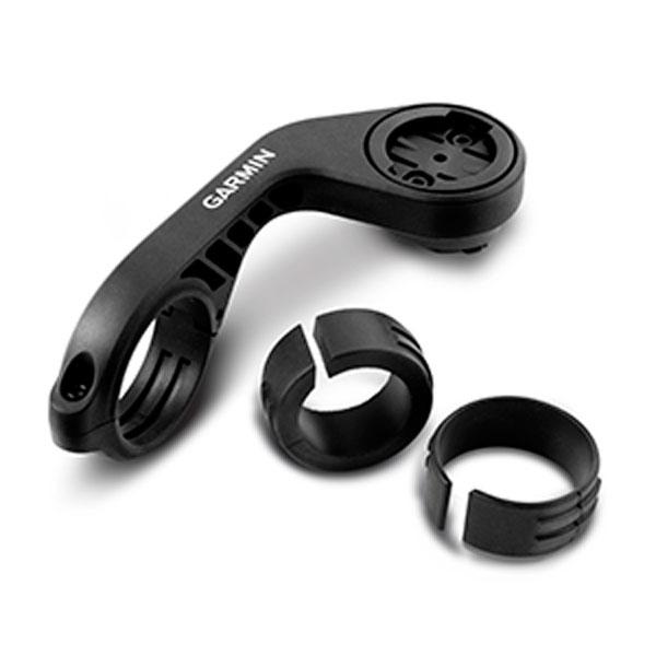
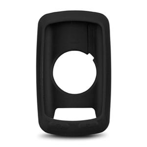
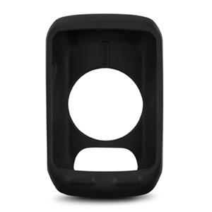
Black close-fitting removable silicone skin; Protects your Garmin Edge 800/810 from bumps, knocks and scratches; Allows easy access to buttons, touchscreen, USB and microSD slot; Suitable for road cycling or mountain biking to ...
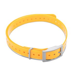
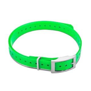
Laadige oma DC™ 40 uuesti. See klamber töötab sõiduki toitekaabli või vahelduvvooluadapteriga (müüakse eraldi). Sobib järgmistele Garmini toodetele : Garmin DC 40 Dog Tracking Collar